

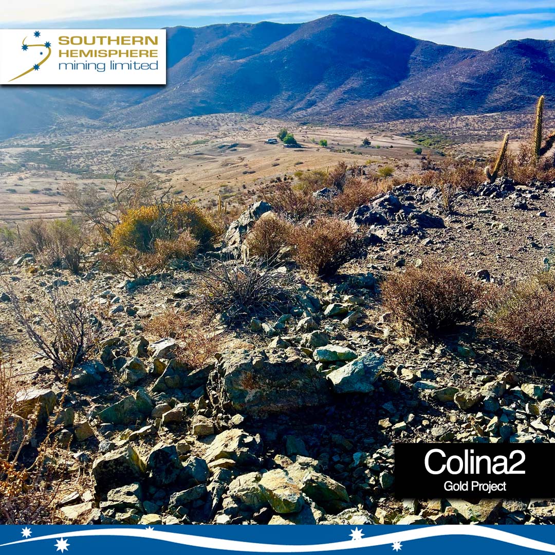
Colina2 Gold Project

The 100% owned Colina2 Gold Project in Central Chile is located 9km to the northwest of Pucobre’s El Espino Copper Mine development and adjacent to the company’s own Llahuin Copper Gold Moly Project.
Colina2 Timeline
➕ September 2021 – the company announced the maiden gold discovery at Colina2 (drillhole -34m @ 1.39g/t Au from 24m) from its 2021 RC drilling program. Drilling intersected variably silica-epidote-chlorite altered epithermal hydrothermal breccias with pyrite. This program was completed in October 2021.
➕ January 2022 – significant results announced from the RC drilling program in late 2021:
Results from the 19 hole 2,793m RC powered drill program in October 2021 include 11m @ 1.54g/t gold and 11m @ 1.53g/t gold from 28m in drillhole 21CLRC013 from 12m depth as well as the previously announced 34m @ 1.39g/t gold in drillhole 21CLRC003 from 24m depth.
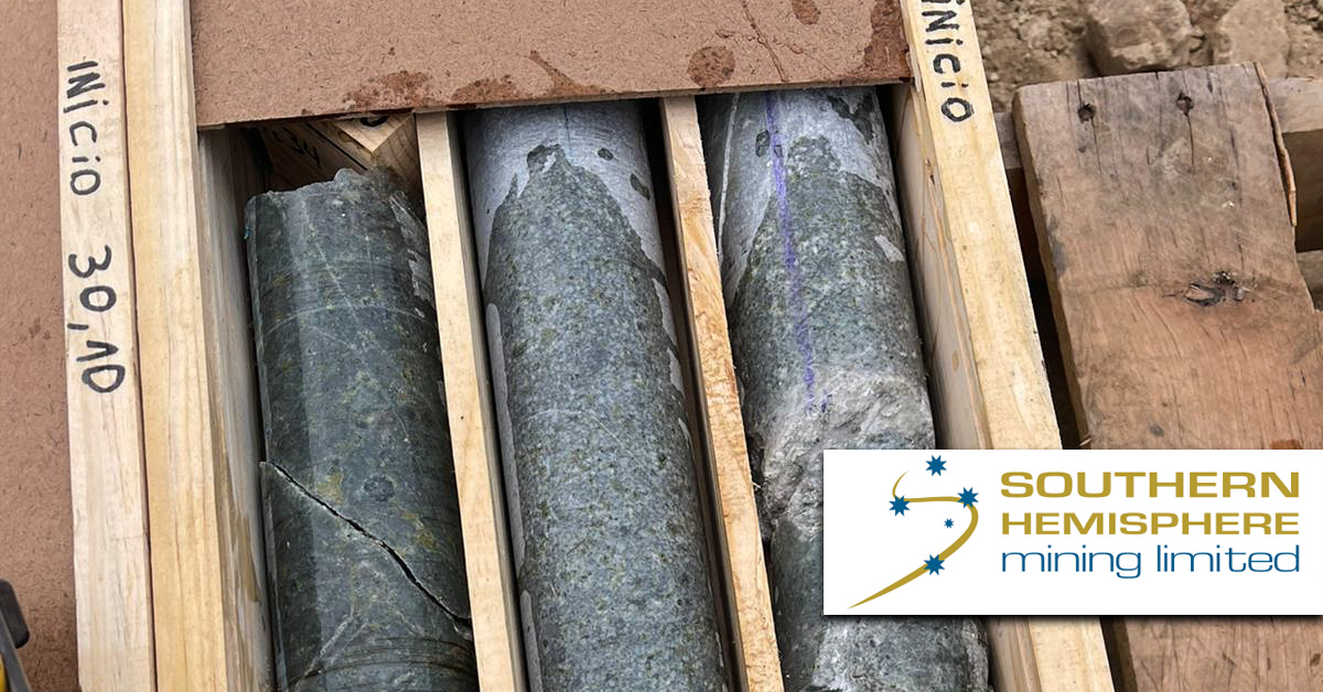
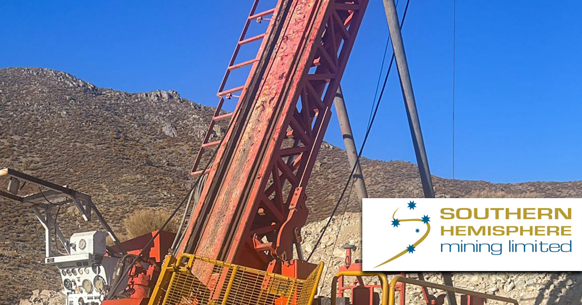
➕ June 2022 – The company conducts diamond drilling at Colina2 – view the released drill core photos here.
➕ September 2022 – The company announces the prospectivity of Gold, Copper and Silver in soil samples identified at Colina2 after a soil sampling program is conducted during 2022.
A review of the laboratory multi-element soil data by Sugden Geoscience concluded “The element signature is suggestive of a deeper seated high sulfidation system”, which supports the current exploration concept for the Colina2 Project.
For the latest on the Colina2 Gold Project please see the news feed on this page.


A reinterpretation of the magnetic data by a consulting geophysicist shows the anomaly is coincident with a NE-SW trending fault on the eastern side of the anomaly.
In July 2021, the company released the below high resolution drone magnetic survey image map from Colina2.

Following a data review of the soils, drilling and geophysical data available for Colina2 (by a new management team) a reinterpretation of the data suggests the gold in soil anomaly may not have been adequately tested previously. The soil data shows a NE-SW trending robust MMI Au in soil anomaly 1150m long with response ratios up to 286. SGS laboratories consider a response ratio for gold over 20 anomalous. (SGS Technical Bulletin 19 MMI Sampling).
A reinterpretation of the magnetic data by a consulting geophysicist shows the anomaly is coincident with a NE-SW trending fault on the eastern side of the anomaly.
The soils were collected and assayed in 2006 and the anomaly was tested with one drill hole. This drill hole does not intersect the fault position which is interpreted to control the gold anomaly. The soil anomaly is on the side of a hill which drains to the west resulting in the gold anomaly moving downhill.
A trenching program to test the surface expression of the Au in soil anomaly was completed. The host rock is an altered grano-diortite intrusive with boxwork textures with hematite-limonite possibly replacing sulfides and magnetite. Some quartz veinlets smaller than 1 mm with a central suture and hematite halo were also observed.
Targeted RC drilling followed the above exploration work and successfully hit gold mineralisation in the 3rd hole with 34m@ 1.39g/t gold from 24m.
Related News
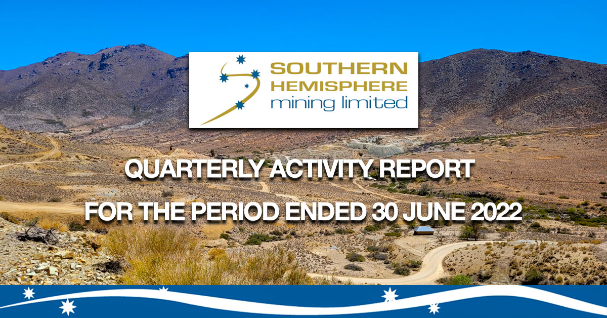
Quarterly Activities Report for the period ending 30 June 2022
Southern Hemisphere Mining Limited has released its Quarterly Activities [...]
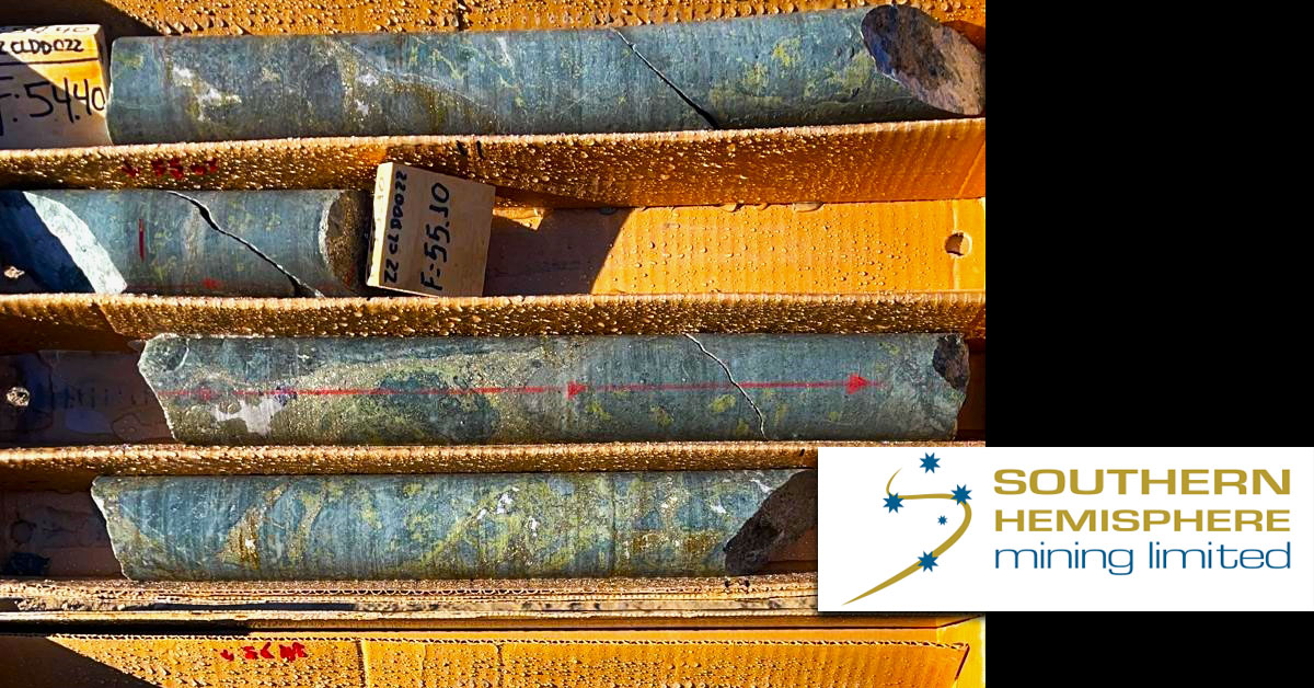
Colina2 Diamond Drill Program update featuring drillcore photos
Southern Hemisphere Mining Limited reports the drilling at the [...]

Commodities super-cycle underway – Goldman Sachs Global Head of Commodities tells CNBC
Southern Hemisphere Mining Limited has welcomed the views of [...]
Diamond Drill program update – Llahuin Copper and Colina2 Gold Projects in Chile
Southern Hemisphere Mining Limited reports the progress of drilling [...]
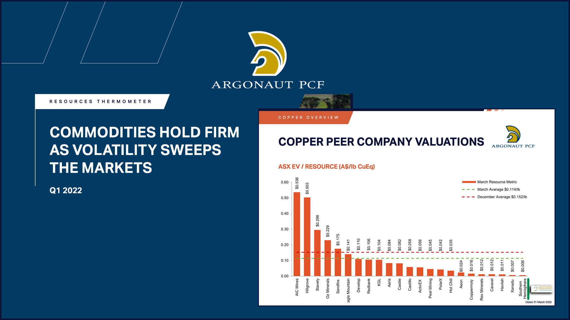
Southern Hemisphere Mining lowest EV Copper on latest Argonaut PCF Copper Resources Thermometer
Southern Hemisphere Mining Limited (ASX: SUH) rated by Argonaut PCF [...]
Diamond drill program commences for Llahuin and Colina2 Projects
Southern Hemisphere Mining Limited reports the commencement of drilling [...]